PROJECT DETAILS
- Project No 1134
- Project Name State of knowledge + capability for remote sensing for water utilities
- Lead Organisation Icon Water
- Research Lead CSIRO
- Main Researcher Tim Malthus
- Completion Year 2023
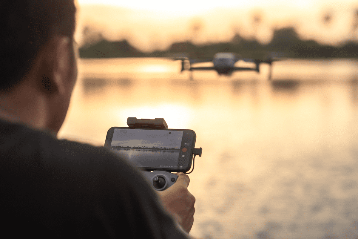
Project Description
New satellites and drones have the capacity to provide higher resolution images, of larger areas, more often than ever before, but how can water managers and scientists access or use this data, and what will they need to incorporate remotely sensed information into analysis, planning and other decision-making processes? This is a desk-top study to review peer-refereed literature and service providers technical information, with a focus on the remote sensing of parameters relevant to optically complex inland waters.